Circuit de randonnée pédestre - sous-buen
Lus 5b - Korte wandeling in de wijk Cour, langs de oevers van de Doubs en de Rocher de Sous-Buen.
STAP 1: Steek de parking over, dan de rotonde en volg het bord Cour aan de overkant. Ga rechtdoor langs de rue du Moulin (je loopt langs de Doubs). Bij de oude weverij, die je herkent aan de schoorsteen, ga je rechtdoor.
STAP 2: Je komt aan de Rue des Grottes. Sla rechtsaf en ga rechtdoor. Aan het einde van de weg steek je de parking over en ga je rechtdoor op het voetpad.
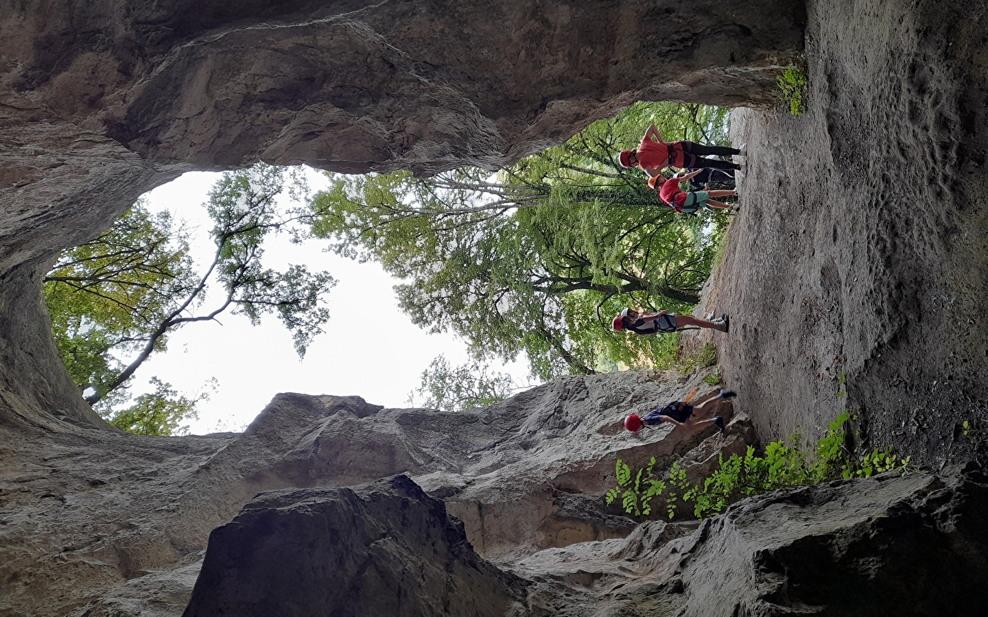
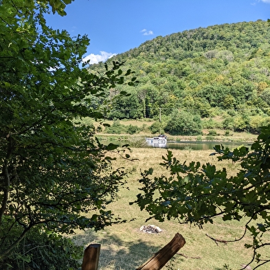
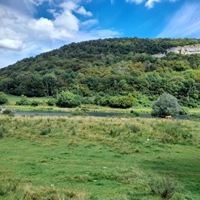
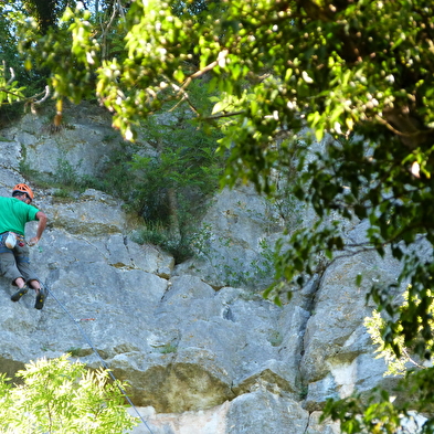
STAP 3 : Ga de weide in aan het rode draaihekje. Steek het weiland over langs de klif. Aan je linkerkant zie je de Rocher de Sous Buen, een populaire klimplek. Misschien ontdek je zelfs een kleine grot bovenaan de ladder (je kinderen zijn jouw verantwoordelijkheid). Ga verder langs de oevers van de Doubs tot je bij de D683 komt.
STAP 4: Volg op deze drukke weg de borden naar het stadscentrum.
Net voor de technische keuring neem je de Chemin du Croyot (een goede weg bergop).
Sla rechtsaf de 3de straat in (rue Camille Besançon). Je kijkt uit over de wijk Cour, dat een onafhankelijk dorp was voordat het een wijk van Baume-les-Dames werd.
STAP 5 :Verderop aan de linkerkant volg je de borden "Promenade du Breuil". Ga een trap af die overgaat in een vrij steile straat. Na de bocht ga je rechtsaf. Bij de splitsing ga je rechtsaf.
STAP 6: Je komt bij een weg met meer verkeer. Steek de weg over en ga rechtdoor de trappen op in de richting van de Promenade du Breuil.
STAP 7 : Loop achter de supermarkt langs en sla linksaf. Steek de weg over en je bent terug op de Place Jouffroy d'Abbans, je vertrekpunt.


